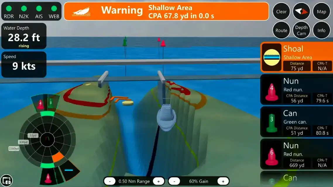
Avoid running aground
Active Maps
• Utilizes NOAA survey data for accuracy.
• Updates display with precise depth info dynamically.
• Uploads new depth data to Cloud upon return.
• Enhances collective boater knowledge pool.

• Utilizes NOAA survey data for accuracy.
• Updates display with precise depth info dynamically.
• Uploads new depth data to Cloud upon return.
• Enhances collective boater knowledge pool.


PENSACOLA, FLORIDA
3500 Barrancas Avenue
Pensacola, FL 32507
850-903-1776
ST. PETERSBURG, FLORIDA
450 8th Ave SE
St. Petersburg, FL 33701
850-903-1776
BIRMINGHAM, ALABAMA
3616 5th Ave S
Birmingham, AL 35222
850-903-1776
About Tocaro Blue
Tocaro Blue designs advanced marine navigation systems that give boaters confidence at the helm. We believe that everyone should be empowered by their navigation tools. We designed PROTEUS to be your partner in navigation. PROTEUS uses information from your RADAR, Depth Transducer, VHF Radio, and other sensors to present a simple and actionable interface on your MFD – solving the age old problem of complex marine instrumentation and displays.
© 2023 Tocaro Blue | All Rights Reserved.
